
Clayton County Neighbor Sources
Public records describe parts of a block, not complete households. The parcel viewer establishes which lots touch. The assessor names titled owners and separates the physical situs from the tax mailing address. A lawfully released voter file can contain registered names and addresses, while plats show the legal block plan. Public civic pages identify contact points, not private rosters.
| Source | What It Shows About a Block | Access |
|---|---|---|
| Clayton parcel map and cards | Lot pattern, owner, mailing and situs distinctions | Free public viewer |
| Georgia voter file | Released registered-voter address and participation fields | Ordered file with legal limits |
| Recorded subdivision plats | Lots, blocks, roads, and common areas | GSCCCA or clerk terminal |
| Parcel permit tab | Work dates and named applicants or contractors | Portal or narrow records request |
| Civic and HOA filings | Public officers, agents, contacts, and stated boundaries | Government, SOS, and organization pages |
An owner is not always an occupant. A different mailing address may suggest an absentee owner, but it proves no more. A homestead flag supports owner occupancy without naming a spouse, child, renter, or other person in the home.
Map Clayton County Neighbors
Ordinary map browsing is the dependable block method. The county's ArcGIS services support selection and distance queries, but no public buffer button was verified. That makes a visible, parcel-by-parcel walk more reliable than assuming the viewer can draw a radius.
- Search the target in Clayton Public Access and confirm the physical situs and 12-digit parcel number.
- Open the map and zoom until the parcel lines and nearby road are clear.
- Click the lots on each side, then those across the street. Record each parcel, owner, mailing address, and situs separately.
- Use two visible intersections as endpoints if the task expands to one block. Stop there rather than drifting through the area.
- Return to each parcel card for exemptions, sales, land, structures, and permits, while keeping those property facts separate from residency.
For an entire named road and its deed chain, use the Clayton County street directory. The neighbor method stays focused on lots immediately beside and opposite one starting point.
When Clayton Owners Live Elsewhere
The parcel card displays both mailing and situs addresses because they perform different jobs. Situs means the physical location. Mailing is where tax correspondence goes. If they differ, the owner may live elsewhere, but the record does not say who occupies the parcel. Even a matching mailing address and homestead exemption cannot provide a full roster of Clayton County neighbors.
The parcel system can also show buildings, sketches, values, value history, sales, land, imagery, assessments, appeals, and permits. Those tabs build a property timeline. They should not be turned into claims about people. A permit applicant may be an owner, contractor, or agent, and a building outline may not equal a separate household.
This is the central myth to avoid: the parcel map is an owner directory, not a resident directory. It is still valuable because it makes each titled lot and its neighbors transparent.
Clayton Blocks on Recorded Plats
A plat is a recorded drawing of lots, blocks, roads, easements, and common areas. It can explain why two addresses share access, where an HOA common parcel sits, or which lot number belongs to a modern address. The assessor's legal description can supply the subdivision, unit, block, and lot needed for the GSCCCA property or plat search.
The Clerk of Superior Court remains the official custodian. GSCCCA offers separate Real Estate and Plat indexes, with account or access tiers for some features and images. A courthouse terminal is the fallback. Book and page provide a direct route when the parcel card or deed cites them.
A tax boundary is not a survey. Use a recorded plat or qualified survey evidence for a legal boundary question. For block research, the plat's best role is organizing lots and common areas, not identifying Clayton County neighbors.
Clayton Neighbors and Voter Data
Georgia My Voter Page verifies one registration from identifying information. It returns status, polling place, precinct or district, and election information. It is not a browsable block directory. A block-level analysis requires the separately ordered public voter file, followed by a lawful filter of released address fields.
State law makes lists available, but commercial use is a misdemeanor under O.C.G.A. §21-2-601. The official order materials say the file omits telephone numbers, dates of birth, Social Security numbers, and driver's-license numbers. It may show the date or election in which a person last voted, never the ballot choice. Georgia does not register voters by party.
VoteSafe suppresses qualifying voters' residence addresses. Georgia also created a broader victim-centered address confidentiality program. Protected entries must stay hidden. A missing name can also mean the person is not registered, not that the address is vacant.
Clayton Community Contact Records
No authoritative countywide neighborhood-association directory or public membership roll was located. That gap matters. A responsible neighbor search uses public contact channels without inventing association names or implying that member lists are open.
Incorporated Cities
Forest Park, Jonesboro, Lake City, Lovejoy, Morrow, and Riverdale publish government and council contacts for matters inside city limits.
County Districts
Clayton County commission contacts and Community Development provide public channels for unincorporated areas and land matters.
HOA Records
Recorded declarations and Georgia corporate filings can identify an association, registered agent, or officer, but not residents.
Voluntary Groups
Faith groups, clubs, and watch programs may publish their own contacts. Their internal rosters remain private unless voluntarily released.
Visit Clayton County Community Development for the official county planning and community entry point.
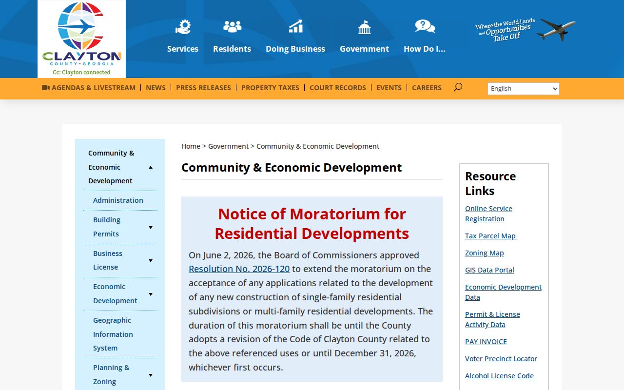
The captured page is a public agency contact route. It is not evidence of any private neighborhood membership.
Clayton Neighbor Source Comparison
Official records and commercial neighbor tools differ in source clarity. The official route is narrower, but it shows which office produced each fact. Commercial products may merge property, voter, marketing, and other data, sometimes assigning renters or relatives to the wrong home.
| Question | Official Clayton or Georgia Source | Commercial Category |
|---|---|---|
| Which lots touch? | County parcel map with visible geometry | Map source may be unclear |
| Who holds title? | Assessor plus recorded deed | May lag after a sale |
| Who is registered? | Lawfully released voter data with suppression | May merge old addresses |
| Who belongs to a group? | Only voluntarily public contacts | Associations may be inferred |
Use commercial output, if encountered, only as an unverified lead. Do not treat it as a substitute for the assessor, clerk, elections office, or the organization itself.
Clayton Neighbors Across Boundaries
A mailing place does not prove local jurisdiction. Jonesboro and Riverdale postal labels extend outside their city limits. Ellenwood and Conley cross county contexts, while fringe Hampton, Stockbridge, College Park, and Atlanta postal areas can also confuse the keeper of a permit or civic record.
Confirm the parcel in Clayton Public Access, inspect the GIS jurisdiction, and then contact the right city or county office. The county GovQA system does not automatically retrieve a record created by Forest Park or another city. This custody check prevents a false no-result.
For broader civic context, Georgia Archives and National Archives at Atlanta are both in Morrow. They support historical and federal research after catalog and series checks, but neither supplies a current neighborhood roster.
Privacy for Clayton County Neighbors
Public parcel ownership generally remains visible unless a specific protection applies. Renters, children, and other household members are not listed on the tax roll. Driver information is protected by federal law. Utility and delivery customer lists have no ordinary public access route. Civic, congregation, club, and watch rosters are private unless the group chooses to publish them.
VoteSafe and Georgia's address confidentiality law exist for people facing serious risks. Never correlate other records to defeat a suppression. Ask the record custodian about a correction when an official fact is wrong, and use the relevant statutory process for redaction or protection.
Lawful use. Research Clayton County neighbors for civic curiosity, reconnection, or personal safety. Never use records to watch, harass, threaten, or harm anyone.
Public silence has many causes. The nearby person may rent, not vote, use a protected address, or simply have no voluntarily published group contact. Respecting those limits is part of an accurate block search.