
Clayton County Previous Resident Sources
A backward address trail begins with current parcel facts, then changes sources as the dates grow older. Deeds establish title. Directories and census schedules reveal household evidence. Permits and plats date the site, while newspapers and probate may explain why a name disappears.
| Source | Years It Covers | Where Held | What It Shows |
|---|---|---|---|
| Deed books and indexes | 1858 forward; statewide web baseline 1999 | Clayton Clerk and GSCCCA | Owners and legal descriptions |
| Pre-Clayton deeds | Before 1858 | Henry or Fayette custodian/Archives | Earlier title |
| Federal census | 1860-1950 public | NARA and genealogy databases | Households at census date |
| Directory and phone leads | 1960, 1968, 1970 identified leads | Catalogs, LOC, local repositories | Named subscriber or occupant |
| Assessor and permits | Current and displayed history; start unstated | Clayton Public Access | Parcel, owner, structures, changes |
Start with the newest source that clearly identifies the parcel. Never assume that a deed owner lived there or that one directory subscriber names the full household.
Start Clayton County Address History
Use Clayton Public Access to capture the parcel number, current owner, situs address, mailing address, legal description, subdivision, lot, block, and last displayed sale or book-page reference. The situs is the physical property address. The mailing address is where tax correspondence goes. A difference may suggest an absentee owner but proves nothing about occupancy.
The parcel number is the stable join key. Street numbers can change, postal labels may cross city boundaries, and older deeds may use only lot and block. Save the land description before opening any name index. The parcel tabs can also show structures, sketches, value history, sales, maps, permits, assessment notices, imagery, and appeals. Those items date the property, not its residents.
Trace Clayton County Deed Owners
The Clayton County Clerk of Superior Court records deeds, security deeds, liens, and plats. GSCCCA supplies the statewide real estate index. Its standardized county coverage reaches at least January 1, 1999, while older Clayton material remains in clerk custody and may also have been added to the system.
- Open the present owner's purchase deed and copy the buyer, seller, book, page, and legal description.
- Search that seller as a grantee in an earlier date range to find when the seller acquired title.
- Compare the legal description, not just the surname, before accepting a match.
- Repeat from grantee to earlier grantor until the web index stops.
- Call Real Estate Records at 770-477-3395 and use courthouse books or terminals for earlier instruments.
- Grantor and grantee
- The grantor transfers an interest; the grantee receives it.
- Chain of title
- The linked sequence of recorded transfers for the same land.
- Legal description
- The recorded land identity, often subdivision, lot, block, bounds, or plat reference.
Names alone cause false matches. A prior-deed reference and matching land description make each link far stronger.
Clayton County's 1999 Baseline
The 1999 date is a statewide digital baseline, not the birth of Clayton County deeds. GSCCCA began collecting standardized real estate index data from all 159 counties that year, and historical data continues to be added. Clayton's own office has much older books. Ask for the oldest online grantor and grantee years and the earliest onsite index before planning a long previous residents search.
GSCCCA's real estate index overview explains the coverage framework.
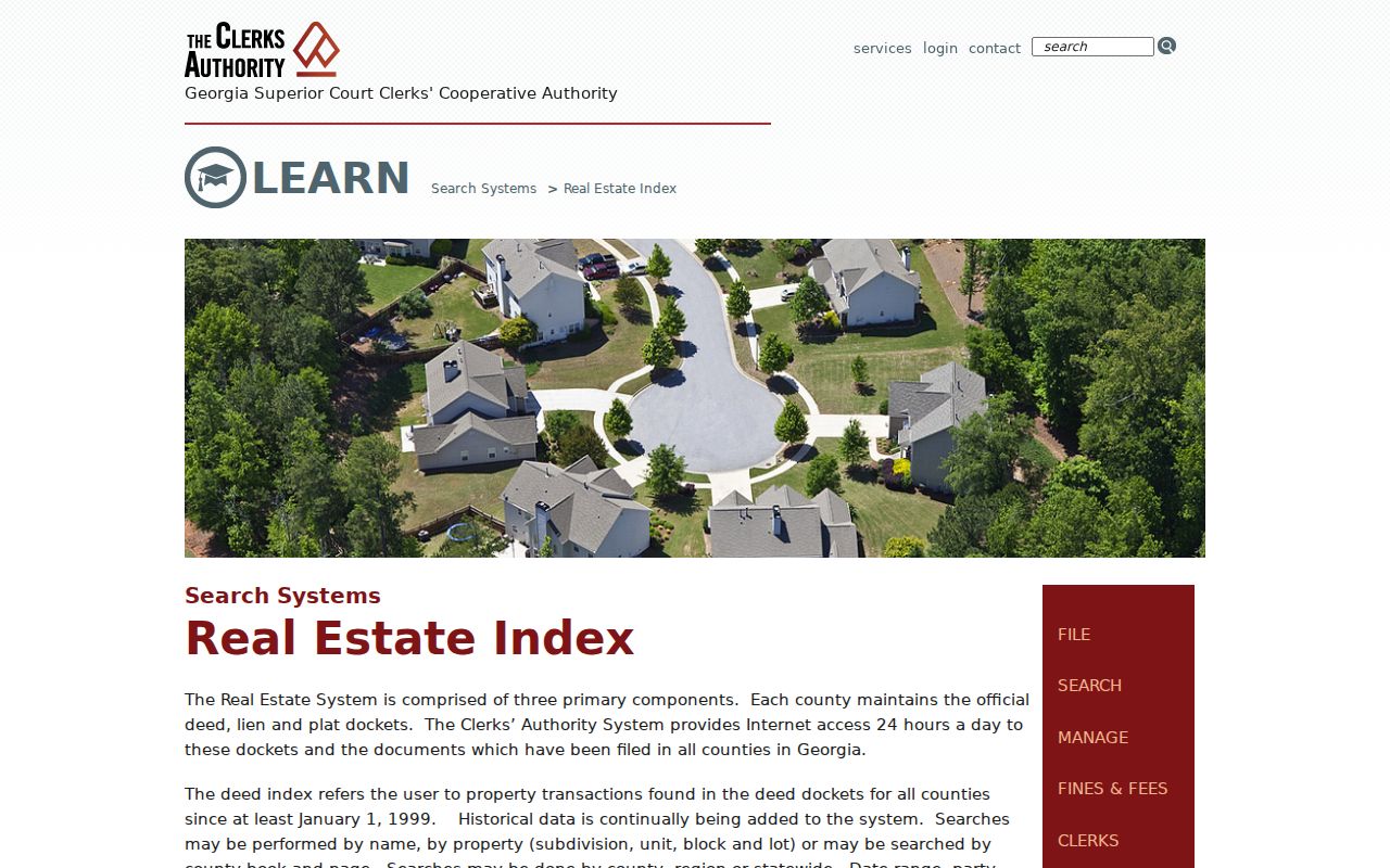
The screen supports a measured fallback: search online first, then move to clerk indexes rather than declaring older deeds missing.
Georgia's GSCCCA organization page identifies the statewide authority behind the index.
The clerk remains the official custodian when a web account, image tier, or historical cutoff blocks access.
Previous Residents Before Clayton County
Clayton County was created on November 30, 1858 from Henry and Fayette Counties. This is the main continuity trap for an old parcel. A family may have stayed on the same land while the county name changed around them. Determine which predecessor county held the tract, then search that county's deed index, tax digests, probate, and court series.
First officers were commissioned in 1859, which marks the start of Clayton's own core courthouse series. No authoritative courthouse fire or catastrophic loss was found. Do not explain a gap with a disaster claim. The nationally destroyed 1890 population schedules are a separate federal gap that deeds, taxes, directories, newspapers, and probate can help bridge.
Key boundary. Before 1858, follow the land into Henry or Fayette records rather than searching only the modern county name.
Clayton County Past Households
Owners are not the whole household. Public federal population schedules for Clayton run from 1860 through 1950 under the 72-year release rule. They can name family members and other people present on the enumeration date. Directories fill some years between censuses. A verified Forest Park 1960 directory lead and 1968/1970 regional telephone leads for Ellenwood and Conley are useful, but no full local run is established.
- Place the parcel in the right town, exchange, and county for the date.
- Search the nearest directory by surname, initials, spouse, and street.
- Compare the address with the closest public census schedule.
- Follow first and last appearances through newspapers, cemetery records, death material, and probate.
The Clayton County city directory collections are described separately because their publishers, catalog routes, and reading conventions need their own treatment. Here, each directory hit serves one address trail.
Note: The 1960 census is scheduled for public release in 2032, so later household work needs other lawful sources.
Clayton County Building Evidence
Plats, permits, sketches, sales, and imagery help explain the physical history around previous residents. A plat connects an old deed description to subdivision, lot, block, easements, and dimensions. The assessor's Permits tab may show scope and dates tied to a known parcel. It is not a confirmed countywide name-search tool.
Custody depends on jurisdiction. County Community Development may hold a file for unincorporated land, while one of the six cities may hold a municipal permit. A Jonesboro mailing address does not by itself prove that Jonesboro created the record. Check parcel jurisdiction before requesting files. Under the Georgia Open Records Act, ask the correct agency for an existing permit file or export; it need not create a new report.
Sanborn fire-insurance maps may show footprint, use, and materials where coverage exists. No official source confirmed particular Clayton place-and-year sheets, so search Jonesboro and Forest Park catalogs without promising that a map will be found.
Close Clayton County Resident Trails
When a household vanishes, search local newspapers by both person and place. Obituaries, legal notices, marriage notices, church lists, property advertisements, and school news can connect the last known address to a later event. DLG's Georgia Historic Newspapers and the McGregor museum archive offer title, date, person, and place routes. Newspaper text is secondary evidence, so inspect the page image and corroborate it.
Probate can identify a decedent, petitioner, heirs, property, and deeds of assent in public files. Clayton Probate Court has no verified public name index in the research, making the counter or a focused request the fallback. Estate papers may explain a transfer that the deed chain alone cannot. Cemetery and death records can support dates, subject to Georgia vital-record access rules.
Lawful use. Research previous residents for family, estate, and house history; never use an address trail to track, harass, or harm a living person.
Verify Clayton County Address Matches
A sound conclusion uses at least two independent anchors. Match the legal description and book-page, or pair the same uncommon name with a dated directory address and census household. Keep the retrieval date because assessor ownership, court status, and digital coverage change.
| Strong title match | Same legal description plus linked prior deed |
|---|---|
| Strong household match | Name, address, and date agree across two source types |
| Weak match | Same surname in Clayton County with no parcel or date |
| Unresolved gap | Missing year, changed number, or repository coverage not verified |
A historical address can fail because a road lacked a number, a publisher excluded rural land, the postal city differed from the government boundary, or indexing misspelled a name. Search the subdivision, road, nearby institution, spouse, and surname variants before deciding that no record exists.