
Clayton County ZIP Coverage Guide
This Clayton County ZIP code directory is a practical list drawn from official county precinct addresses, USPS routing evidence, and documented boundary context. It is not a county-published polygon inventory. Core postal places appear beside fringe areas that require address-by-address proof. The “post office” column describes routing evidence, not municipal control.
| ZIP Code | Areas Covered | Post Office | Notes |
|---|---|---|---|
| 30236 | Jonesboro and central county | Jonesboro grouping | Runs beyond the small incorporated city |
| 30238 | South and west Jonesboro mailing area | Jonesboro grouping | County precinct locations confirm use |
| 30260 | Morrow and north-central county | Morrow grouping | Postal city does not prove city limits |
| 30273 | Rex and east-central county | Grouped with Morrow | County material uses Rex/Ellenwood |
| 30274 | Riverdale area | Riverdale grouping | Extends outside incorporated Riverdale |
| 30296 | Riverdale and northwest Clayton | Riverdale grouping | Verify parcel jurisdiction |
| 30297 | Forest Park | Forest Park grouping | Primary delivery area |
| 30298 | Forest Park | Grouped with 30297 | Confirm special or PO-box use with USPS |
| 30294 | Ellenwood, northeast and east Clayton | Ellenwood | Crosses county contexts |
| 30288 | Conley and northeast edge | Address lookup required | Conley also reaches DeKalb context |
| 30250 | Lovejoy | Address lookup required | Postal area and small city differ |
| 30228 | Hampton and southern edge | Address lookup required | Postal area extends heavily into Henry |
| 30281 | Stockbridge and eastern edge | Address lookup required | Mostly Henry; parcel proof needed |
| 30349 | College Park/Atlanta postal area | Address lookup required | Airport area crosses government lines |
The strong core is easier to use than the fringe. Validate 30228, 30281, 30288, and 30349 against the exact address, USPS result, and Clayton parcel. Treat 30298 as special or PO-box-related until USPS confirms its use. That caution prevents a postal label from being turned into an unsupported county or city claim.
Clayton ZIPs Beyond City Lines
Jonesboro illustrates the main trap. The incorporated city covers about 2.6 square miles, yet its 30236 and 30238 mailing areas reach much farther. A Jonesboro label therefore does not prove that a city clerk, city court, or city permit office holds a record. Riverdale has the same issue with 30274 and 30296. Its delivery territory can extend beyond incorporated Riverdale into county jurisdiction.
Postal label rule. Use the parcel jurisdiction, not the mailing city, to choose the public office that created a local record.
The distinction affects real searches. County Community Development handles unincorporated building and land-development files, while an incorporated city may keep its own permits and occupational-tax records. Verify the parcel layer before sending a request. A ZIP code directory can narrow geography, but the jurisdiction field selects the custodian.
Clayton Cross-County ZIP Edges
Ellenwood 30294 and Conley 30288 cross county contexts. Hampton 30228 and Stockbridge 30281 are tied strongly to Henry County, although a fringe Clayton address may use one of those postal names. The airport-adjacent 30349 area also crosses government boundaries. Searchers should attach a county and parcel number to each address instead of assuming the postal city decides location.
Clayton County's six incorporated cities are Forest Park, Jonesboro, Lake City, Lovejoy, Morrow, and Riverdale. Rex, Ellenwood, and Conley remain useful postal search labels but are not among those six cities. This geography is why permit, court, election, and property searches need different local checks even when the same ZIP appears on the envelope.
Confirm a Clayton County ZIP
The USPS ZIP Code Lookup is the official first check for an exact delivery address. Enter the complete address rather than choosing a ZIP from a city name alone.
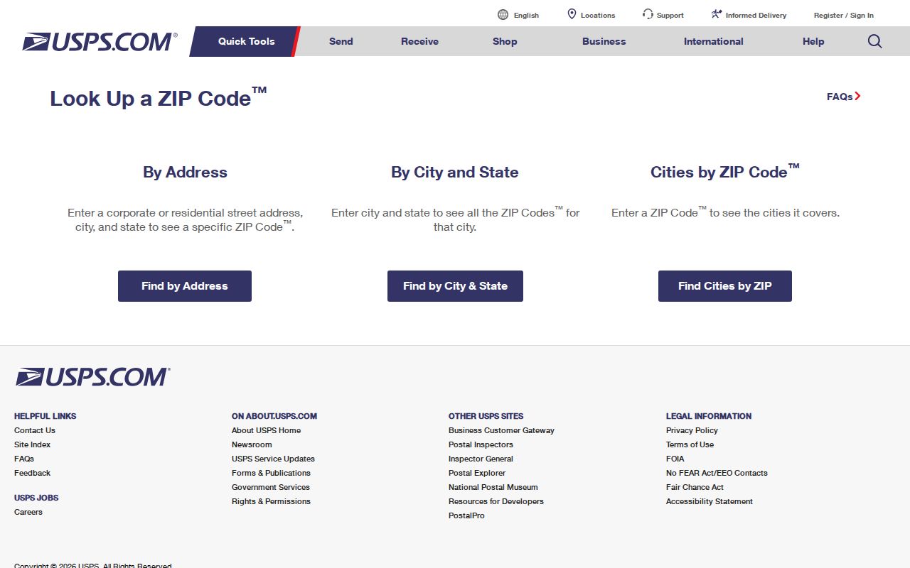
The returned postal form settles routing. It does not settle county, municipality, property ownership, or records custody, so carry that verified address into Clayton Public Access next.
Search Clayton Residents by ZIP
No verified official portal offers a one-click list of every person in a Clayton County postal area. The assessor instructions do not confirm a ZIP field, and Georgia My Voter Page verifies one voter rather than browsing a whole region. Use the ZIP code directory as a narrowing tool, then move through exact-address and parcel systems.
- Run the full address through USPS and record the standardized mailing form.
- Find the parcel in Clayton Public Access. Confirm the situs address, parcel number, owner, and mailing address.
- Inspect the GIS jurisdiction and nearby parcels. Do not treat parcel owners as a household list.
- If a lawful public voter file is needed, confirm that its current data dictionary includes ZIP before filtering the released address field.
Once the postal area narrows to a road, the Clayton County street directory explains the address-keyed property and deed sequence. That page owns street-level work; this ZIP code directory stays focused on postal geography.
Clayton ZIP Search Field Limits
Clayton Public Access offers several reliable fields, but its published instructions do not confirm ZIP as one of them. A basic real-property search accepts a 12-digit parcel number without hyphens, owner name, or street. For a street search, omit the house number and suffix. The advanced mode lets the user choose a criterion, enter a value, add it to the current criteria, and combine valid fields such as neighborhood code when known from a parcel.
| Field or mode | Format | ZIP-area value |
|---|---|---|
| Parcel Number | 12 digits, no hyphens; wildcard accepted | Confirms one Clayton parcel |
| Owner name | Name variants may be needed | Finds titled property, not all residents |
| Street | Omit house number and suffix | Narrows a known postal area by road |
| Advanced criteria | Select, enter, and add at least one item | ZIP criterion not confirmed |
| Neighborhood code | Use a valid code from a known parcel | Groups assessor areas, not USPS routes |
Do not advertise an unsupported countywide residents-by-ZIP search. If the web portal fails, contact the assessor or GIS staff about an existing public record. An agency is not required to create a new compilation merely to answer a broad postal-area question.
Clayton ZIP Counts Need Context
Clayton County counted 297,595 residents in 2020 and had a July 1, 2025 estimate of 297,471. Those are county totals, not counts for USPS delivery routes. A ZIP-based population figure often comes from a Census ZIP Code Tabulation Area, or ZCTA, built from census blocks. It should not be labeled as a precise USPS route population.
The Census ZCTA guidance explains that statistical geography.
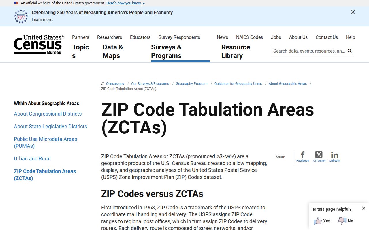
Use ZCTAs for broad demographic comparison and USPS for delivery validation. Neither replaces the county parcel layer for jurisdiction.
Clayton Voter Data by ZIP
Georgia My Voter Page is an individual identity check. It returns registration status, polling place, precinct, districts, and election information after the required identifying data is supplied. It cannot enumerate a ZIP or a street. A broader public voter file is separately ordered under Georgia law and may be filtered only by fields actually released in its current data dictionary.
The official order form describes county, municipality, district, and precinct scopes. It does not establish a standard ZIP-area product. Public lists omit phone number, birth date, Social Security number, and driver's-license number. VoteSafe suppresses qualifying addresses, and commercial use is barred by O.C.G.A. §21-2-601. These limits keep a ZIP code from becoming a complete household roll.
Clayton Postal and Parcel Layers
Three address forms may appear in the same property trail. The mailing address is where tax correspondence goes. The situs address is the physical site used in a parcel search. The legal description identifies land through subdivision, unit, block, lot, plat, or other recorded terms. A deed chain can remain stable through its legal description even when a postal label or street form changes.
Use those layers to settle a fringe-area result. First retain the USPS-standard address. Next copy the 12-digit Clayton parcel number and situs from Public Access. Then read the GIS jurisdiction and the deed or plat description. If the postal city and jurisdiction differ, send a permit or local administrative request to the government shown by the parcel context, not merely to the place printed on the envelope.
No official countywide renumbering project was found in the research. When an older address fails, compare plats, deeds, road records, ordinances, and historic maps rather than assuming a specific change date. Community Development or GIS can handle unincorporated address questions; city planning or public works is the better channel within city limits.
Clayton ZIPs Versus City Limits
A ZIP is a mail route label, not a city border. Census geography is another layer, and a parcel's situs, or physical address, differs from the owner's mailing address and the deed's legal description. For unincorporated property, route address-assignment questions to Clayton Community Development or GIS. Inside a municipality, ask that city's planning or public works office. Prove renaming, annexation, or boundary changes with ordinances, plats, and historic maps rather than inference.
- ZIP and ZIP+4
- The five-digit route area and its more precise four-digit delivery segment.
- PO-box ZIP
- A code used for post-office boxes rather than general street delivery.
- Unique ZIP
- A code assigned to one organization or institution with enough mail volume.
- Carrier route
- The set of addresses served by one postal delivery route.
- ZCTA
- A Census block-based approximation used for statistics, not an official USPS boundary.
The dependable sequence is short: USPS for routing, Clayton Public Access for the parcel, GIS for jurisdiction, and the correct city or county custodian for the record. That keeps every ZIP code directory result tied to the office that can verify it.