
Walk a Clayton County Street
A useful Clayton County street directory search separates proof from clues. The assessor identifies each parcel's titled owner, not everyone at the address. The map puts those parcels in order. A deed confirms title, while a lawfully obtained voter file may identify registered voters whose addresses are not protected. Historical reverse directories can add listed occupants when a suitable volume exists.
Start with one valid parcel so the county system supplies its standard street spelling. That matters because a postal city can differ from the government that keeps permits. Jonesboro and Riverdale mailing labels extend beyond their incorporated limits, while Ellenwood and Conley cross county contexts. Keep the parcel number beside each address through this street-by-street process.
- Find the known address in Clayton Public Access. Save its 12-digit parcel number, owner, situs address, and mailing address.
- Open the parcel map, zoom to the road, and click nearby parcel polygons one at a time.
- Use a lawfully ordered Georgia voter file for a by-street view. My Voter Page verifies one voter and cannot enumerate a road.
- Search the owner in the GSCCCA Real Estate Index. Confirm Clayton County and the legal description, then follow book and page references.
- For past listed occupants, ask local and state repositories for a matching reverse or criss-cross directory year.
Clayton Street Directory Fields
Clayton Public Access is the strongest free start for a modern street directory. Basic, Advanced, Sales, and Map modes serve different tasks. In Advanced Search, choose a criterion, enter a value, and add it to the current criteria panel. At least one criterion is required. Saved criteria can help repeat a narrow road or subdivision search.
| Field or Mode | Entry | Clayton Search Note |
|---|---|---|
| Parcel Number | 12 digits, no hyphens | Asterisk wildcards are accepted. |
| Owner Name | Name text | Try variants and reversed order. |
| Street | Road name only | Omit house number and suffix. |
| Neighborhood Code | Known code | Copy it from a verified parcel. |
| Map Search | Spatial browse | Open nearby parcel details. |
The wildcard rule is a useful Clayton quirk. The county's example shows that asterisks can bridge part of a street name. That helps when a road is indexed with a space or spelling that differs from the user's version.
Open the official Clayton real-property search before reviewing the captured interface.
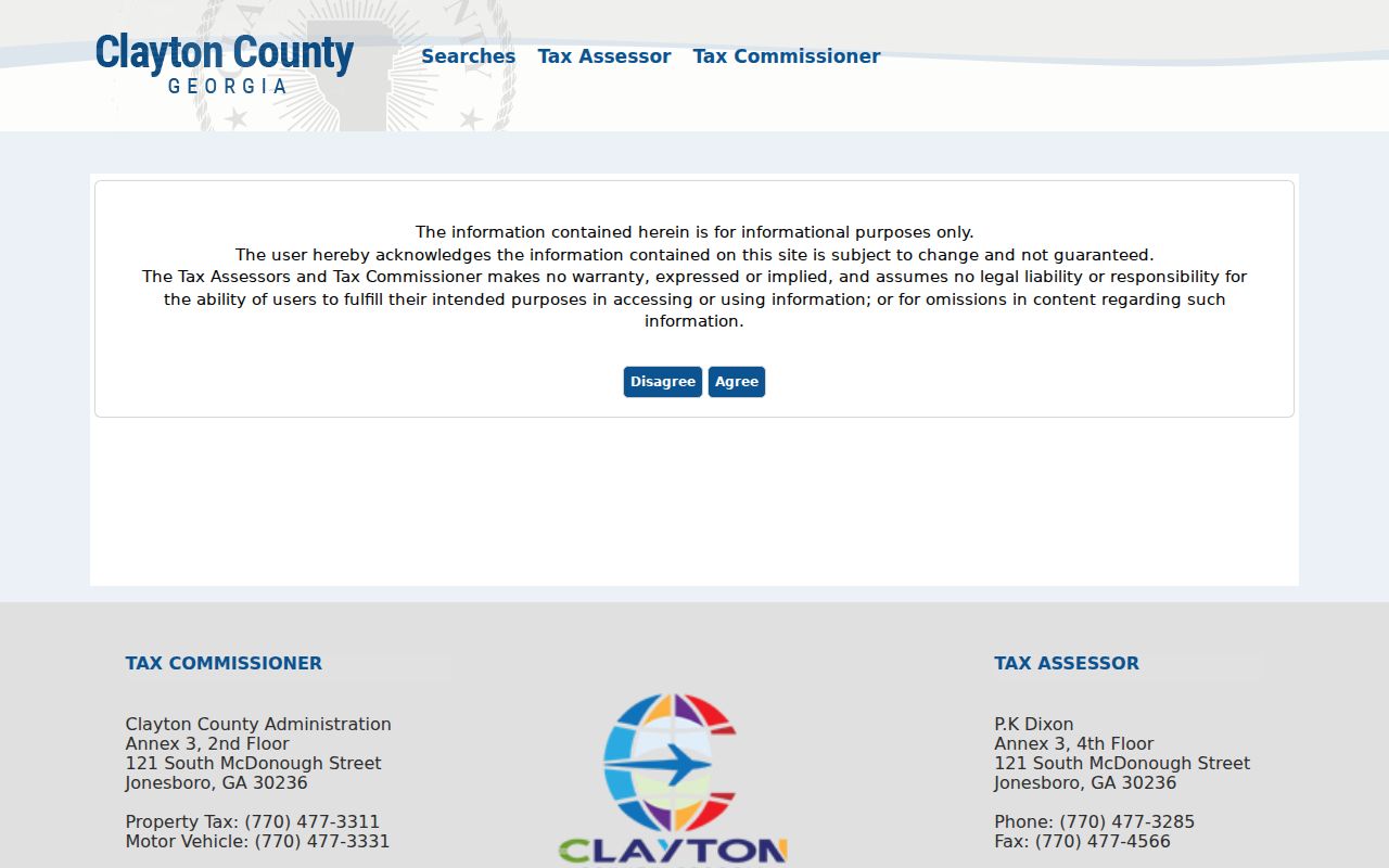
The screen shows why the street, parcel, and owner fields are separate routes into the same property record.
Check the official Board of Tax Assessors resource page for its property, map, permit, and related county links.
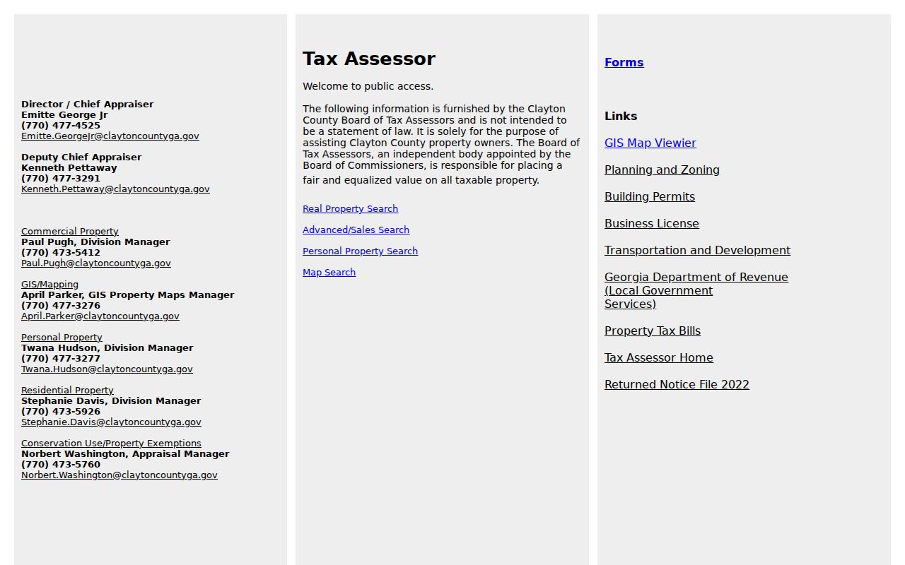
The assessor page keeps the property search tied to its county custodian and offers the proper route back when a saved portal link changes.
Map Clayton County Street Parcels
The county map turns a parcel list into a street view. Select a known lot, zoom until boundaries are clear, click the next polygon, and open its assessor details. Public ArcGIS services support identify, query, pagination, statistics, and geometry or distance queries. The TylerTaxParcels service caps a response at 1,000 features and a selection at 2,000, so a tight area works best.
Parcel lines show tax geography, not a legal survey. Building footprints do not prove separate households. Enabled layers may add buildings, imagery, districts, zoning, or flood context, but each layer answers a land question rather than naming occupants.
Review the official tax-parcel map service behind this by-address method.
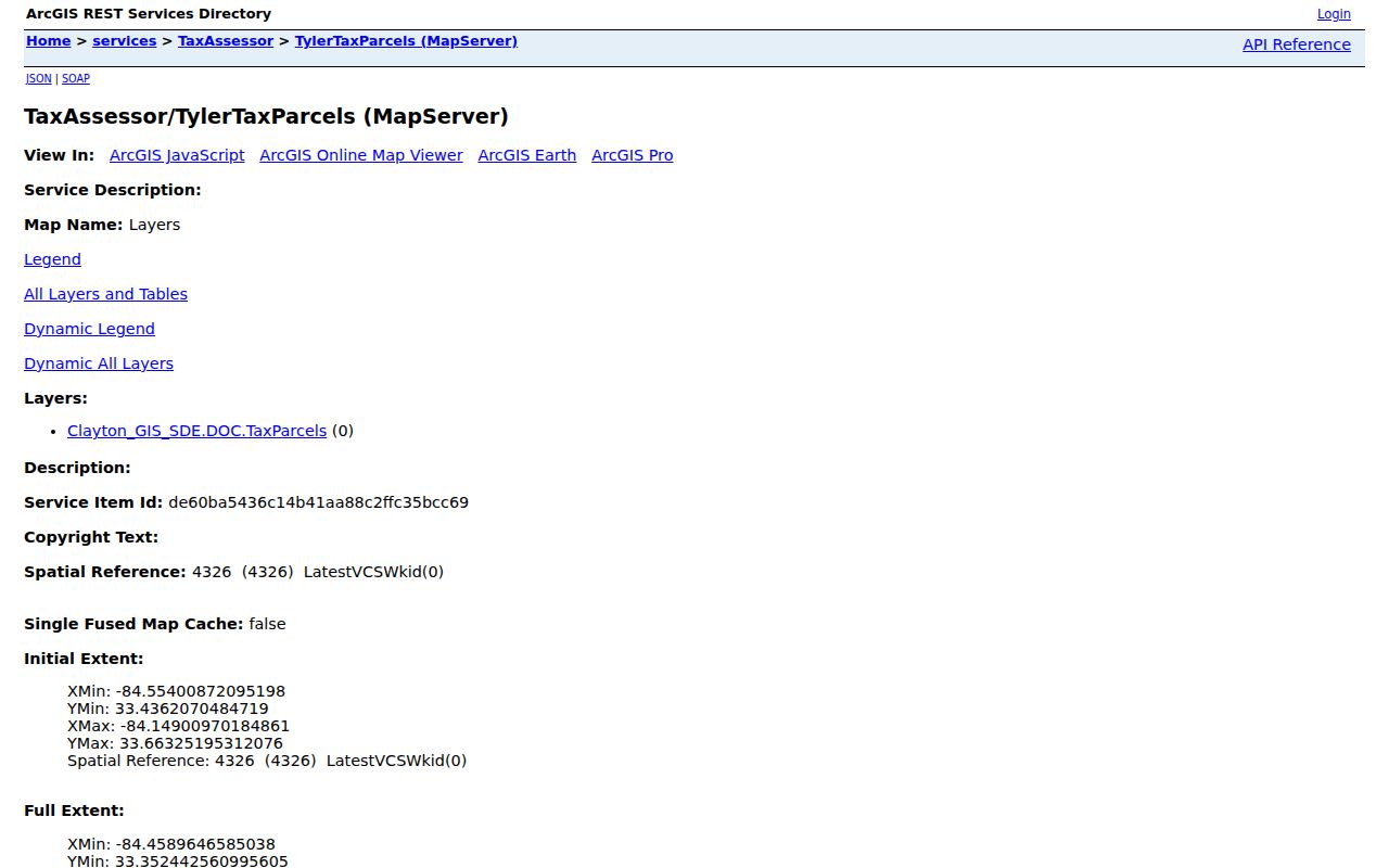
The service record confirms that parcel geometry supports a defined street search, even when the ordinary viewer offers fewer tools.
Browse the official Clayton County GIS service directory to see the county's published map-service entry points.
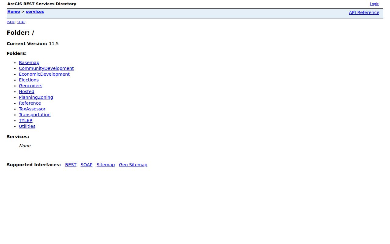
The directory places the parcel layer within the broader county GIS system, which helps distinguish an official map service from an unrelated map result.
Clayton Records Found by Street
Each address source answers a different question. The parcel card is current ownership evidence. GIS supplies spatial context. Deeds show transfers, plats describe lots, and permits date work. Voter data covers registered voters only, while a reverse directory covers listed people within that publisher's area and year.
| Record Set | Keeper | What It Shows | Access |
|---|---|---|---|
| Property and tax roll | Board of Tax Assessors | Owner, mailing and situs addresses, exemptions | Free Clayton Public Access |
| GIS parcel map | Clayton County GIS | Lots, nearby parcels, enabled map layers | Free viewer and services |
| Deeds, liens, and plats | Superior Court Clerk and GSCCCA | Title chain, legal description, book and page | Web tiers and courthouse terminal |
| Voter file | Georgia Secretary of State | Released registered-voter address fields | Ordered file; statutory limits |
| Building permits | County or issuing city | Applicant, contractor, scope, dates | Parcel tab or records request |
The parcel number joins the roll, map, tax facts, permits, and deed references. Street spelling connects lots, but a legal description is safer when a road name changed. Full historical collections are covered on the Clayton County city directory page.
Clayton Street Record Terms
Four terms prevent the most common mistakes in a street directory search. They distinguish a tax unit, a physical location, a recorded map, and a historical address list.
- Parcel
- A tax and land-record unit identified by a stable county number.
- Situs address
- The physical parcel location, which may differ from the owner's mailing address.
- Plat
- A recorded drawing of subdivision lots, blocks, roads, and common areas.
- Criss-cross directory
- A directory arranged by street and house number rather than only by surname.
A different mailing address can suggest an absentee owner. It does not prove who lives at the situs. A homestead exemption supports owner occupancy but never supplies a complete household roster.
Clayton Streets Through Deeds
The Superior Court Clerk records deeds, security deeds, liens, and plats. GSCCCA's statewide standardized deed data reaches at least January 1, 1999, with older historical data added county by county. That date is an online baseline, not a sign that older Clayton books vanished. Call Real Estate Records at 770-477-3395 to ask about the oldest online and onsite grantor and grantee indexes.
Search the current owner as a grantee, confirm the property description, then inspect prior deed references. A grantor transfers an interest; a grantee receives it. Book and page are direct document keys. Some images or advanced searches require an account. Courthouse terminals remain a key fallback, and staff can explain plain or certified copy options.
Permits appear as a parcel tab. Commercial, residential, and structure entries can date work, but an applicant or contractor is not proof of occupancy. For an incorporated parcel, first learn whether Forest Park, Jonesboro, Lake City, Lovejoy, Morrow, or Riverdale issued the permit. County Community Development handles relevant unincorporated work. A narrow GovQA request can seek an existing permit export when the tab is incomplete.
Clayton Street Directory Boundaries
A postal city is a delivery label. It does not establish city limits, county lines, or permit custody. A Jonesboro address can lie outside incorporated Jonesboro, and Riverdale labels extend beyond the city. Ellenwood and Conley cross county contexts. Hampton, Stockbridge, College Park, or Atlanta mailing areas can add doubt near Clayton's edge.
No official countywide renumbering year was found. When an old number fails, compare the modern legal description with subdivision plats, deeds, road petitions, maps, and a directory street guide. Clayton County began in 1858 from Henry and Fayette Counties, so land evidence before that boundary belongs in predecessor indexes.
The assessor's jurisdiction facts and county GIS layers settle far more than a mailing label alone. Save the parcel number and retrieval date because ownership, permit status, and digital coverage can change.
Clayton Streets in Old Directories
A reverse or criss-cross directory places entries under a street and house number. It may show a listed householder, telephone number, occupation, spouse, or owner and renter mark, depending on the publisher. Check the abbreviation key in each volume. Never assume that one publisher's symbols apply to another.
Clayton County has no verified complete local year run in the available research. A 1960 Forest Park directory and 1968 and 1970 regional telephone leads are specific starting points, not proof of countywide coverage. Ask Clayton County Library Headquarters, UGA MAGIL, Georgia Archives, and the Library of Congress catalog about the exact place, title, publisher, and year.
Rural residents, unlisted numbers, and people beyond a publisher boundary can be missing. Pair any directory entry with a deed, census, newspaper page, or other independent source before treating the named person as the occupant.
Limits of Clayton Street Records
A Clayton County street directory cannot produce a complete household list. Tax records omit renters and other occupants. The voter file omits nonvoters, protected addresses, telephone numbers, birth dates, Social Security numbers, and driver's-license numbers. Georgia does not register voters by party, and election participation never reveals a ballot choice.
Driver addresses are protected by federal law. Utility and delivery customer data have no routine public basis. VoteSafe and Georgia's broader victim-centered address confidentiality program shield qualifying addresses. Never try to rebuild a suppressed address by joining other files.
Lawful use. Use Clayton County address records for lawful personal research. Never use them to stalk, harass, threaten, or evade an address protection.
A no-result screen is not proof that nobody lived there. It can reflect an owner with another mailing address, a renter absent from tax files, a protected voter, an unverified directory year, or a road indexed under another name.
When results conflict, save each parcel number, legal description, document reference, and retrieval date. Then ask the assessor or clerk which source reflects the latest official update.